
Austrian glaciers 2026: when the snow will fall and when the resorts open
Mid-September is when skiers increasingly start checking the webcams and weather forecasts for the highest parts of the Alps. Austria's glaciers are getting ready for the autumn season, and the first planned piste openings are only a couple of weeks away. So the question is obvious: when will winter arrive at altitude in the Alps, and will October bring conditions that allow a good start to the season?


As of 15 September there is no clear answer yet. Current forecasts show the first marked cold spell around 17 and 18 September, when rain should turn to snow in places high in the Alps. It does not yet look like the start of a lasting winter, but it will be the first weather event of the second half of September worth watching for what it means for the glaciers' preparations for the season.
Forecasts covering October and early November need to be treated with much more caution. At that range it is not possible today to reliably predict a specific snowfall or temperature for Sölden, Stubai or Hintertux. We can talk about likely trends, analyse weekly temperature and precipitation anomalies, and follow whether successive model updates begin to point to a similar scenario.

For now there is very little snow for preparing the pistes
Austria's glaciers are going into autumn with a very thin cover, so the starting point is not particularly favourable. The official Pitztaler Gletscher report of 15 September shows 0 cm of snow cover even at the Café 3440 viewpoint and at the top station of the Gletscherexpress. The situation is similar on the neighbouring Kaunertaler Gletscher, where the report gives 0 cm at the Karlesjoch top station (Bergstation Karlesjoch) and at the glacier car park.
This does not, of course, mean there is no glacier. The snow depth reported by the operators refers to the cover that can be used to prepare the pistes, not to the thickness of the glacier ice. It does, however, show clearly how much still has to happen before a proper skiing surface can be prepared.
The situation at Hintertux is just as telling. The lifts are running there for sightseers, but the operator currently states plainly: "Derzeit kein Skibetrieb", meaning there is no skiing at present. The plan is to resume skiing only at the end of September, if conditions allow.
This is a good moment to recall our recent article "Autumn skiing 2026: eight glaciers, prices and getting there for the start of the 26/27 season", in which we listed the piste opening dates and the prices of autumn ski passes.
17 and 18 September: the first marked cold spell
The next change in the weather is already clearly visible in the short-range forecasts. At Pitztal, after a very warm 15 September, with temperatures reaching 13°C at the measuring point for which the resort publishes its forecast, the weather is due to deteriorate on Wednesday. On Thursday 17 September the temperature is expected to fall to around 0 to 5°C, and the GeoSphere Austria forecast published by the resort predicts snow and sleet. On Friday 18 September more rain is possible, turning to snow higher up.
The forecast for Kaunertal is even clearer. On Tuesday 15 September up to about 13°C is expected there, on Wednesday about 9°C, while on 17 September only 0 to 4°C, with snow and sleet, turning to snow showers.
A similar signal appears further east. On the Kitzsteinhorn, the forecast for Thursday 17 September for Langwied, at an altitude of 1,976 metres, shows sleet in the morning and around 4°C. At the Alpincenter, at around 2,450 metres, it will be correspondingly colder, and at 3,000 metres conditions may already be distinctly wintry.
This cold spell should not, however, be mistaken for the start of winter. September snow at 2,500 to 3,000 metres is nothing exceptional in the Alps. If warm air returns after the snowfall, the fresh cover can disappear very quickly. For glacier operators, what matters more than one spectacular snowfall is whether longer periods of below-zero temperatures start to appear in the following days and weeks.

Not just centimetres of snow. The height of the 0°C isotherm matters more
When looking at autumn forecasts for the glaciers, it is easy to focus on colourful maps showing 20, 30 or 50 centimetres of snow over the next two weeks or so. At such a long range, however, specific precipitation totals have very little forecasting value.
The height of the 0°C isotherm, the level in the atmosphere at which the temperature is around zero, says much more. It should not be equated directly with the snow line, though, because that can lie lower or higher, depending among other things on air humidity, the intensity of precipitation and local conditions.
From the glaciers' point of view, however, the rule is simple.
If the 0°C isotherm stays well above the ski areas for a longer period, even fresh snow has little chance of surviving. If it drops to around 2,500 to 3,000 metres and stays there for several days, the picture starts to look completely different.
Cold nights, during which the surface can cool down and stabilise, are even better. That is why over the coming weeks, rather than a single number of centimetres of snow, it is worth watching the temperature at 2,500 to 3,000 metres, the height of the 0°C isotherm, the snow line and the length of periods with below-zero temperatures.
The end of September will be the first serious test
All of this matters in very concrete terms, because the first Austrian glaciers want to open for skiing in a couple of weeks. It is worth remembering that Austrian glaciers open the season with whatever they manage to prepare, not on the fresh snow in the forecast.
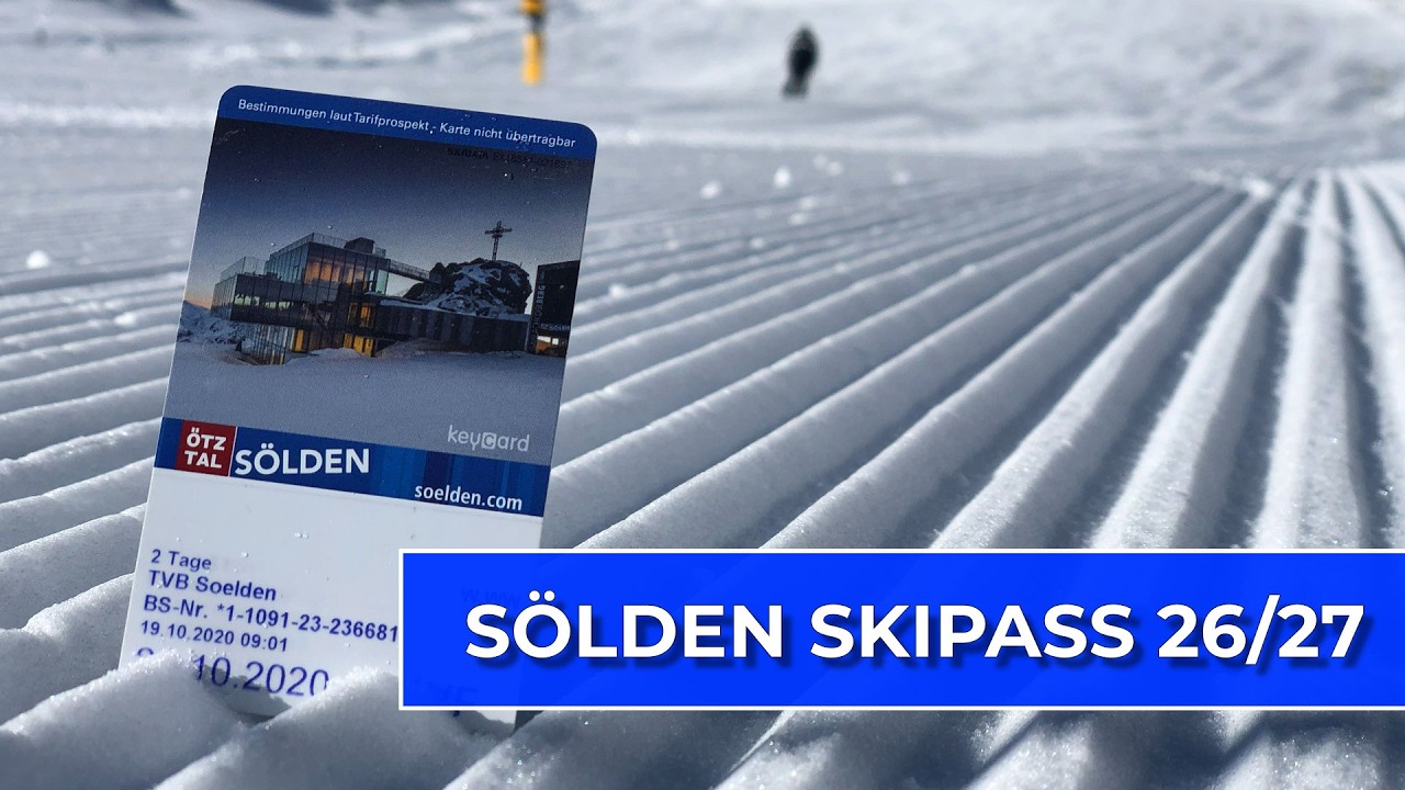
In Sölden the autumn season on the Rettenbachferner and Tiefenbachferner is planned from 25 September to 11 November 2026. The operator makes it clear, however, that the start of operations and the number of lifts running depend on the snow cover. The main winter season begins on 12 November. We described this year's rates and ticket buying rules in detail in our article "Sölden prices 26/27: how to plan your trip without overpaying".
A day later, on 26 September, Pitztaler Gletscher and Kaunertaler Gletscher plan to start their seasons. In both cases the operators reserve the right to change the date depending on snow and weather. For Kaunertal, it is worth looking at our earlier article on dynamic pricing and ways to buy a cheaper ski pass: "Kaunertal Glacier guide: how to pay €123 less for your ski pass".
Hintertux has not yet given a specific day. The official information mentions a planned resumption of skiing at the end of September 2026. A special autumn price list applies until 2 October, and the 2026/27 season rates take effect from 3 October. We covered the prices for the new winter earlier in our article "Winter 26/27 on the Hintertux Glacier: will it cost more?".
Opening dates of Austrian glaciers in the 2026/27 season
| Resort | Planned start | Notes |
|---|---|---|
| Sölden, Rettenbach and Tiefenbach | 25 Sep 2026 | autumn glacier season until 11 Nov, full winter from 12 Nov |
| Pitztaler Gletscher | 26 Sep 2026 | 15 Sep: 0 cm at Café 3440 and the Gletscherexpress top station |
| Kaunertaler Gletscher | 26 Sep 2026 | 15 Sep: 0 cm at Bergstation Karlesjoch |
| Hintertuxer Gletscher | end of Sep 2026 | no specific date, autumn price list until 2 Oct |
| Stubaier Gletscher | 9 Oct 2026 | start date of the autumn rate in the price list |
| Kitzsteinhorn | 10 Oct 2026 | subject to "bei ausreichender Schneelage" |
| Mölltaler Gletscher | 10 Oct 2026 | closed from 14 Sep, season until 30 May 2027 |
That is exactly why the second half of September is so interesting. Sölden, Pitztal and Kaunertal have very little time to spare. One bigger snowfall at a low enough temperature can change the situation completely within a few days. A return of a high 0°C isotherm, on the other hand, may force them to limit the number of pistes or postpone the actual start of skiing.
And what about October? Here the word "forecast" changes its meaning
At this point a very clear line has to be drawn. A forecast for the coming week and a forecast for October are two completely different meteorological products.
GeoSphere Austria publishes high-resolution forecasts of temperature, precipitation, cloud cover and wind for up to eight days ahead. ECMWF, for its part, has sub-seasonal forecasts reaching 46 days, but they are not meant to answer the question of whether 30 cm of snow will fall in Sölden on a given day. They mainly show weekly anomalies and the probability that a given period will be warmer, colder, drier or wetter than normal. Seen from 15 September, that range covers practically the whole of October, but it gives no basis for a detailed forecast for the first days of November.
Beyond that, seasonal forecasts take over. ECMWF prepares them up to seven months ahead, but these are statistical forecasts based on multi-member model ensembles. They show monthly averages and anomalies together with the probability of them occurring. They are not an extension of a classic weather forecast.
That is why I will not write today that heavy snow will come in mid-October or that early November will be freezing. There is currently no data that would allow anyone to make such a forecast responsibly.
A strong El Niño. What does it actually mean for the Alps?
One of the most distinctive features of this year's climate situation is a very strong El Niño. Model updates indicate that the phenomenon will persist and strengthen in the coming months.
Here, however, comes an important caveat. A strong El Niño does not automatically mean a warm, a snowy or a snowless winter in the Alps. Its influence on the weather in Europe is much less direct than in parts of the Americas or the Pacific region, and it depends on a number of other elements of the atmospheric circulation.
The latest seasonal forecasts for the winter as a whole currently point to a higher probability of above-average temperatures over most of mainland Europe and wetter conditions across much of the continent. That is important climate information, but it is not a weather forecast for the Austrian glaciers in October.
It is also worth remembering that a warmer-than-normal month can include several very cold episodes. For the start of the ski season, it is exactly such a three-, four- or five-day blast of cold air, combined with heavy snowfall, that may turn out to matter more than the average temperature of the whole month.
Austrian glaciers in October: a month of further openings
If the end of September does not bring enough snow, attention will quickly shift to the first ten days of October.
On the Stubai Glacier the autumn rate in the published price list starts on 9 October. Skionline already has the 2026/27 season prices, and while you are at it, it is worth reading our latest article on the regional ski pass "SKI plus CITY Pass Stubai Innsbruck: 12 resorts and Innsbruck".
Kitzsteinhorn officially plans to start skiing on 10 October, with the explicit proviso "bei ausreichender Schneelage", meaning if there is enough snow. From 10 to 22 October the autumn ski pass costs €74 a day for an adult, and from 23 October €77. A six-day pass costs €396 in this period.
There is also an important update on the Mölltaler Gletscher. When we put together our overview of the glaciers on Skionline on 6 September, the operator had not yet published its dates for the 2026/27 season. They are now official: the Mölltaler Gletscher will be closed from 14 September to 9 October, and the winter season is scheduled to start on 10 October 2026. The season is due to last until 30 May 2027.
You can also check the current prices of all the resorts mentioned in our database Ski pass prices 2026/27: Austria and other countries.
Early November: the odds improve, but not because the models already see winter
From a skier's point of view, the turn of October and November is of course a safer bet than the last weekend of September, but today we cannot back that up with a specific weather forecast.
The reason is above all seasonal. The days are getting shorter quickly, the sun sits lower and lower above the horizon, and night-time cooling lasts longer. At 2,500 to 3,000 metres it becomes easier and easier to keep a snow cover once it has formed. Periods of very warm air advection and a high 0°C isotherm are of course still possible, but each further week of autumn statistically increases the chance that fresh snow will not disappear after two or three days.
By early November all the main Austrian glaciers should be running, although the number of pistes open will depend on how October goes. In Sölden the strictly glacier-only autumn period lasts until 11 November, and the full winter season begins on 12 November.
Are we in for a good start to the season?
As of 15 September it is far too early to answer that question responsibly. The forecasts give no grounds today for predicting an exceptionally cold October, but nothing points to a poor start to the season either.
The first interesting signal appears around 17 and 18 September. If this cold spell is followed by others and the 0°C isotherm starts dropping regularly to the level of the main glacier ski areas, the situation can change very quickly. If, on the other hand, the second half of September is interrupted by longer warm spells, the openings of Sölden, Pitztal and Kaunertal planned for 25 and 26 September may prove harder to deliver in full.
That is why over the coming weeks I would not look mainly at the eye-catching maps showing centimetres of snow two weeks ahead. Much more important will be the height of the 0°C isotherm and whether the cold spells last long enough for the operators to prepare and maintain the first pistes.
For now, winter has not yet begun its march across the Austrian glaciers. On 17 and 18 September, however, it may make its presence felt more clearly for the first time this autumn. Whether this will be just a short episode or the start of a more favourable trend before the season opens, we will only learn from the next model updates.